Weather & Climate
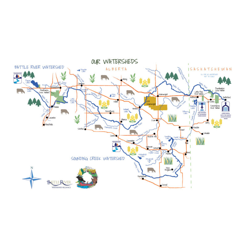
Taking Notice to Take Action: Integrating Environment, Community, and Health A Health in the Watershed Atlas of the Battle River and Sounding Creek Watersheds
Introduction
Across the globe, wildfires and extreme weather events are becoming more frequent and unpredictable. The best way to combat the risks associated with these events is to stay informed and stay prepared.
Our main concerns within the Battle River and Sounding Creek Watersheds are:
- Since 1950, Alberta’s climate has been warming, and winter temperatures have increased 0.5–1°C per decade. The annual frequency of extreme heat days is greatest in areas south of Consort.
- Within the watershed, men show a higher rate of heat-related illnesses. The male prevalence rate is around 14–16 per 100,000 people, while the female rate falls in the 6–8 per 100,000 range.
- Temperature increases may extend the growing season and frost free period by about two weeks.
- Extreme precipitation events (exceeding 25 mm per day) have occurred most frequently in areas west of Tofield and Camrose. The number of days with precipitation is projected to increase by 50% within Alberta.
- Since 1961, Plant Hardiness Index scores have increased by 1–2 points, indicating that winter temperatures have become milder. Some native species and crops may struggle to adapt to this shift, but invasive species are likely to spread more easily.
- Monitoring of dissolved oxygen, total phosphorus, total nitrogen, and pH in watershed tributaries revealed values that exceed guidelines for healthy aquatic ecosystems.
- The main water bodies that have historically had cyanobacteria advisories are Pigeon Lake, Battle Lake, and Little Beaver Lake, while the Battle River at Riverdale Mini-Park has seen advisories more recently.
Here is a collection of resources to help you stay up to date with current wildfire and weather news
Wildfire Risks
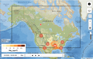
Check the wildfire status in your area with the Government of Alberta website and interactive map. And where there’s fire there’s smoke, so take a look at the Canada-wide Smoke Forecast and PurpleAir air quality map. Help prevent wildfires by observing fire bans and advisories.
Resources: firesmoke.ca | Government of Alberta wildfire map
Weather Hazards
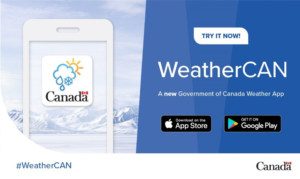
Heat waves, cold snaps, and everything in between. Visit the Government of Canada Weather Alert map to keep yourself safe and plan your days accordingly. Download the WeatherCAN app to stay in the loop while on the go.
Resources: weather.gc.ca
Risks to Water Quality & Quantity
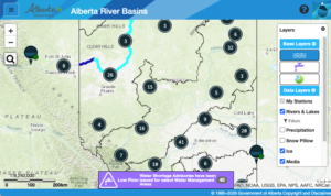
Stop and look at the provincial Blue-Green Algae Health Advisories before taking a dip. Monitor for water shortages and high stream flows on the Alberta River Basins map.
Resources: rivers.alberta.ca
Impacts to Agriculture
Get updates on drought conditions with the Agriculture and Agri-Food Canada Map. For longer term information on soil moisture, take a look at the Alberta Climate and Atlas Maps.
Resources: agriculture.canada.ca
 Extreme Winds
Know what to do when it matters most. Take a read from the Government of Alberta fact sheets to know where it is best to take shelter in the event of dangerous winds or storms.
Connect the dots
How does this affect the rest of watershed health?


- Health of individuals and communities is interconnected with the health of the environment and economy.
- Financial loss due to extreme weather has increased dramatically since 2009.
- Poor air quality reduces quality of life.
Call to Action
- Adapt to shifting climates and extreme weather events
- Build capacity to gather and interpret local data to plan and respond to the health-related effects of climate change
- Improve monitoring of the prevalence of heat- and cold-related illness in rural communities
Acknowledging Lands and People
The Battle River and Sounding Creek watersheds have been the home, meeting ground and travelling route for many Indigenous Peoples since time immemorial. We gratefully acknowledge the ancestral territory and ongoing presence of Indigenous Peoples and Nations within these watersheds. Their experiences, teachings, knowledge and wisdom inform and enrich our collective efforts to care for the land and water of this region. These watersheds are located in Treaty 6 and 7 territory and the Métis homeland. Fulfilling the spirit and intent of the treaties is an ongoing process, and the Battle River Watershed Alliance is committed to building strong and respectful relationships with the Indigenous Peoples of this land, with all living beings, and with the land and water on which we all depend.