
Battle River & Sounding Creek Watersheds
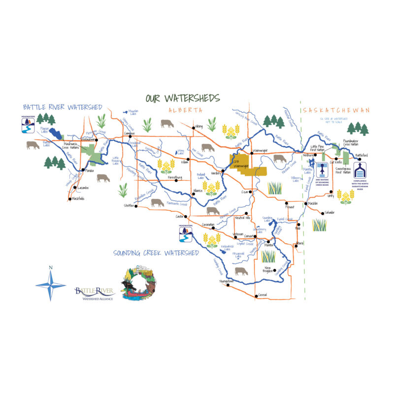
Watershed Map
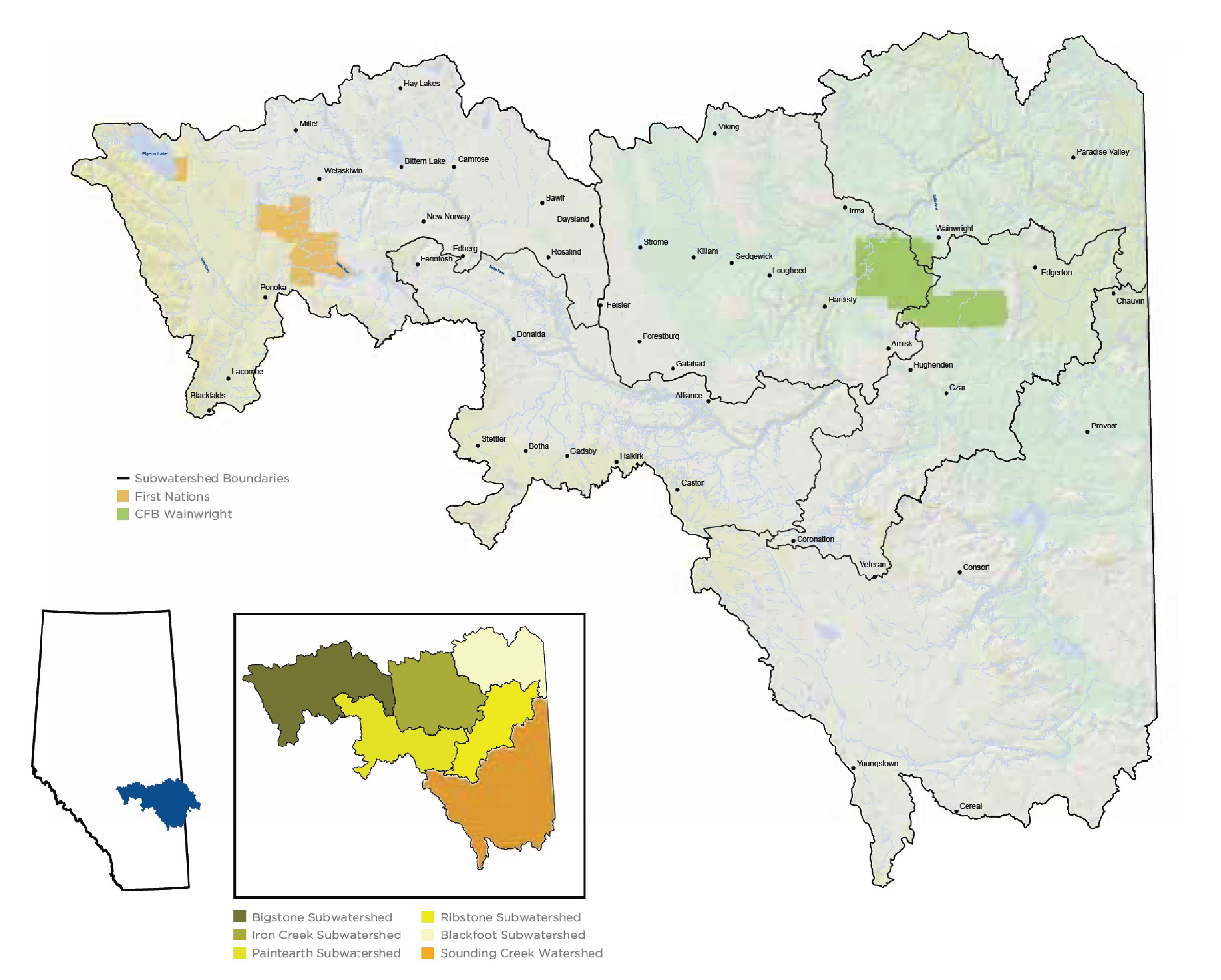
Watershed & Subwatersheds
Explore the Battle River and Sounding Creek watersheds and the key indicators of watershed health that tell a story of the watershed landscape, health, management and stewardship. This online tour is based on the latest state of the watershed report Taking Notice to Take Action: Integrating, Community and Health. The Battle River watershed is 30,000 sq km with five major subwatersheds – Bigstone Creek, Iron Creek, Blackfoot Creek, Paintearth, and Ribstone Creek. The Sounding Creek watershed is 10,000 sq km located south-east of the Battle River.
Acknowledging Lands and People
The Battle River and Sounding Creek watersheds have been the home, meeting ground and travelling route for many Indigenous Peoples since time immemorial. We gratefully acknowledge the ancestral territory and ongoing presence of Indigenous Peoples and Nations within these watersheds. Their experiences, teachings, knowledge and wisdom inform and enrich our collective efforts to care for the land and water of this region. These watersheds are located in Treaty 6 and 7 territory and the Métis homeland. Fulfilling the spirit and intent of the treaties is an ongoing process, and the Battle River Watershed Alliance is committed to building strong and respectful relationships with the Indigenous Peoples of this land, with all living beings, and with the land and water on which we all depend.