Your Guide to paddling the lakes and rivers of the Battle River Watershed.

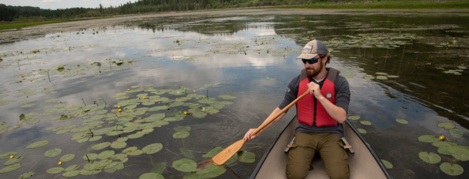
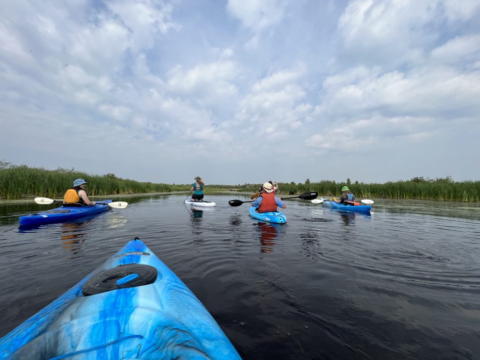
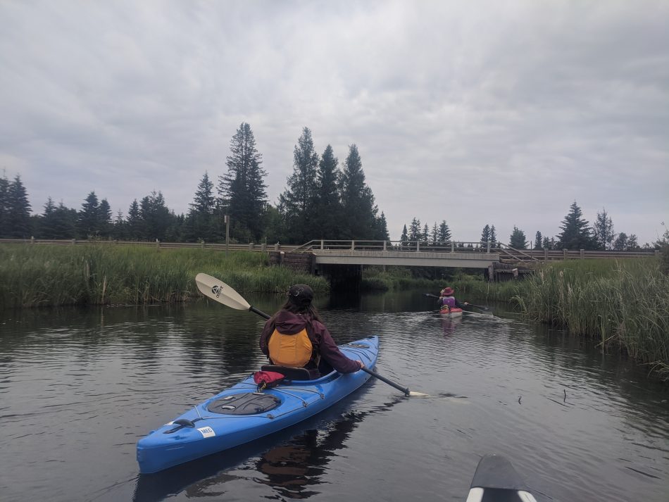
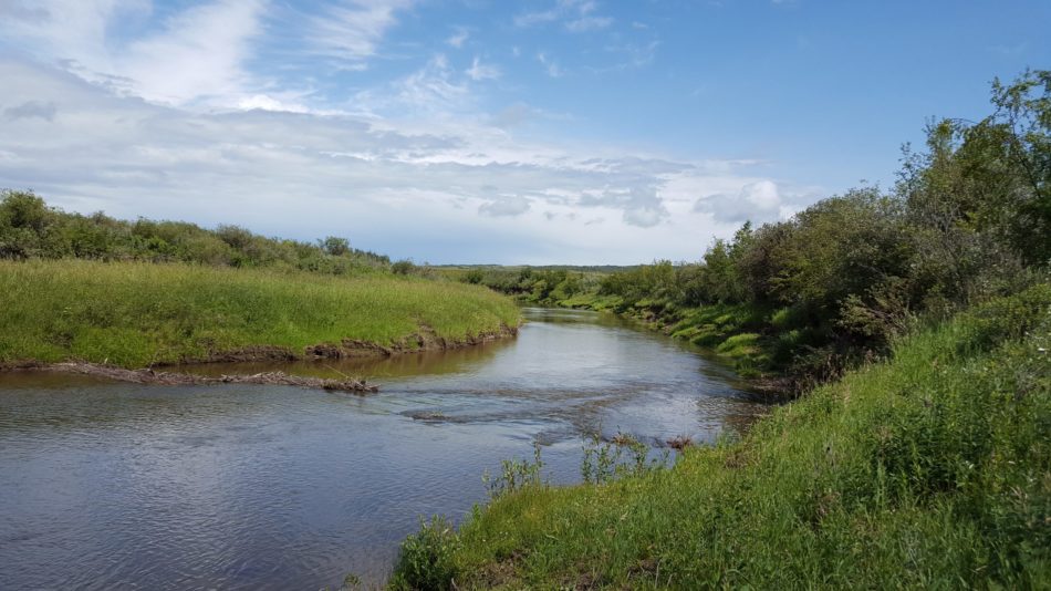
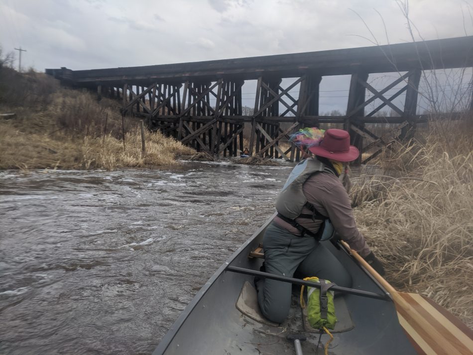
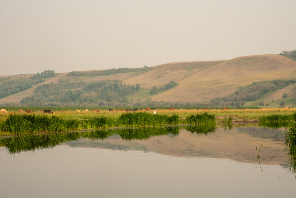
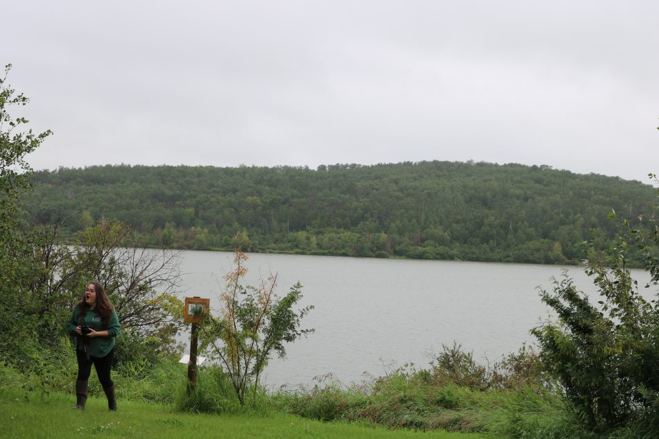
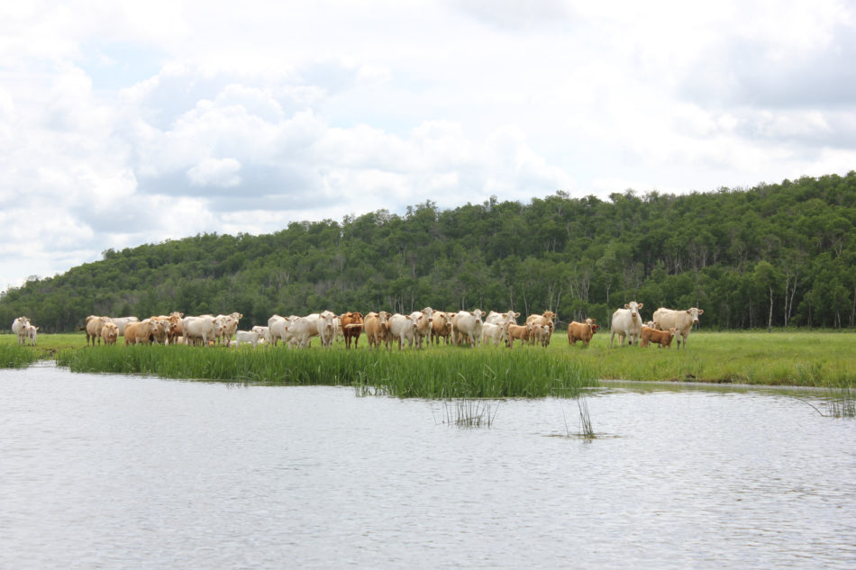
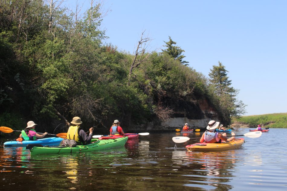
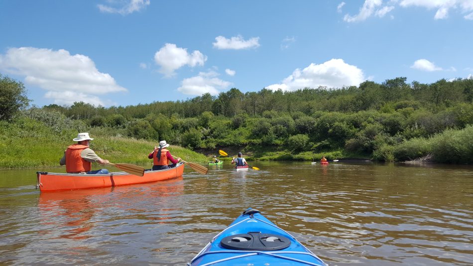
This guide has been created to help novice and expert paddlers alike enjoy the beauty and benefits of our watershed’s water bodies. With a gentle flow rate and meandering route, the Battle River makes for a local and safe paddle. There are also many lakes, allowing you the opportunity to determine exactly how long you would like to be out on the water. Plan your next paddling trip with ease!

The Paddle the Battle guide includes distances, the best put-in and take out locations, wildlife sightings, local attractions, and must-know tips for kayaking and canoeing at sites across the Battle River region.

Please use discretion when choosing a paddling route. You are expected to follow all traffic and boating laws, be aware of weather, respect private property, and assess hazards before going out. Prepare to be out longer then expected- bring extra food, water, and lights. The Battle River Watershed Alliance holds no responsibility for injuries or damage sustained on your paddle. Learn some safety basics in the video list at the bottom of the page!

Remember to use the hashtag #PaddleTheBattle and share your experiences on social media!

Paddle the Battle Interactive Map

Use this map to see each of the locations covered in the guide. Zoom in to see the exact put-in and take-out locations. Click the point to open that guide, or to open Google Maps for directions.

View on this webpage, or click the square icon on the top right of the map’s menu to see it in a new window.

Paddle the Battle Guide Flip Book

You can also open or download the PDF guide with all 16 locations here. Or, scroll down to see the sites separately.

Individual Paddle Guides

From West to East

A man paddles a canoe on the still waters of Battle Lake

Battle Lake

and it’s surrounding landscape are the headwaters of the Battle River. It offers a beautiful micro climate and is home to unique animal and plant life due to the higher elevation and increased moisture. The County of Wetaskiwin has encouraged preservation of the natural forest and shoreline, so you will see few signs of disturbance and lots of animal life.

Open the Battle Lake Guide

Tide Creek

Gilwood Dock, Pigeon Lake (Hwy 771) to Range Rd 22

Tide Creek is a tributary to Pigeon Lake, and is a popular spot for locals. There is beautiful scenery to enjoy as you paddle. Tide Creek meanders through Crown Land and the George and Joan Mitchell Memorial Conservation Site, which is owned by the Alberta Conservation Association (ACA) and partners. Pigeon Lake Watershed Association (PLWA) is the watershed stewardship group in this area. The put in spot at  Gilwood Dock has a parking area and washroom. From Gilwood Dock you paddle to the opening of Tide Creek and follow the creek to the bridge at RR 22. This is an out and back paddle.

Distance: 7km
Approximate Time: 1-2 hours

Open the Tide Creek Guide

Peaceful valley route photo

Peaceful Valley Route

Battle River from Battle Lake to Range Road 10 (Westerose)

Any true Battle River Paddler must paddle the headwaters at least once! You will pass through rich riparian areas and wetlands, spruce and birch forests, wide valleys and farm fields. In all, this is a beautiful trip! The shuttle is about 20 minutes to drive. If you are looking for a shorter day, consider starting at Battle Lake and end at Hwy 771, which is only 8.5km to paddle.

Distance: 19.5km
Approximate Time: 6 hours

Open the Peaceful Valley Route Guide

Ponoka

Hwy 2A through Ponoka to Bobtail Road

Despite crossing several highway, train, and walking bridges, and traveling through both the town of Ponoka and farmland, this stretch of the river is very peaceful and a beautiful paddle. The riverbanks, especially along the top half ofthe stretch, are steep, forested, and in excellent health. This reach crosses several beaver dams and shallows, but it still relatively navigable even when the river is low during midsummer.

Open the Ponoka Guide Guide

Rapid Run Route

Battle River from Haultain Rd to Bethany House Rd, South of Gwynne.

This fast flowing stretch was full of class 2 and 3 rapids and tight turns. This was no lazy river-we had to stay paddling to avoid rocks and sweepers on the bends. There is a 45ft elevation drop between our put-in and take-out points, keeping the water moving fast!

Distance: 15km
Approximate Time: 2-4 hours

Open the Rapid Run Route Guide here.

Photo of the Pipestone Creek flowing into the Battle River

Pipestone Confluence

Pipestone Creek South of Gwynne to the Battle River

Confluences – where two waterways meet – often hold great historical, cultural, and spiritual significance. To experience a confluence is something special, even when it’s the meeting of two small prairie waterways like Pipestone Creek and the Battle River. It was wonderful to paddle on both in one day. We also had the chance to hike up the valley hills and explore the small patches of native prairie that thrive there. We are always amazed at the diversity of plant life in these places!

Distance: 17km
Approximate Time: 5-6 hours

Open the Pipestone Confluence Guide

Peter Fidler Route

South of Bittern Lake to Ross’ Flats at Duhamel (Hwy 21)

Starting south of Bittern Lake, this could be a short, easy, and fulfilling route, or put in further upstream and have a full day. Close to both Camrose and Wetaskiwin, the area is easily accessible, as are the put-in and take out points. There are no obstacles on this route and it offers beautiful views of the valley. The south valley slope is a continuous forest, which helps you recognize which direction you are heading along the meanders.

Distance: 8km or 16km (depending on starting bridge)
Approximate time: 2 hours for short route, or 5 hours for longer stretch.

Open the Peter Fidler Route Guide

Camrose South

From Ross’ Flats at Duhamel (Hwy 21) to Aberhart Bridge.

This is a must do for everyone who wants to Paddle the Battle. There are no obstructions along the route and no rapids (small ones do occur other places) so this is also a great route for families.

Distance: 18km
Approximate time: 3-4 hours

Open the Camrose South Guide

Canoe on the Stoney Creek

STONEY CREEK

CAMROSE TO THE BATTLE RIVER

Avid paddlers will love this technical and challenging route! Easily accessible from Camrose it has lots of options for put-in and take-out locations, making it scalable for your time and energy.
*This route is not for beginners

Distance: 10+Km, depending on put-in and take-out locations
Time: 3-4 hours.

Open the Stoney Creek Guide

Dried Meat lake showing a reflection of the surrounding hills

Dried Meat Lake

is about 20 minutes south-east of Camrose. Dried Meat Lake is a naturally wide section of the Battle River. The Edberg Weir was built in 1975 (then heightened in 2010) to dam the waters as a drinking source for the City of Camrose. The dam has also created stable water levels, ideal for paddling. The maximum depth of the lake is 3.7 meters so you won’t have to maneuver your canoe over beaver dams or shallows even late into summer. Its an ideal spot of novice paddlers or if you don’t want to shuttle a vehicle.

Open the Dried Meat Lake Guide

Little Beaver Lake

Little Beaver Lake

provides paddlers of all experience levels a chance to get out and explore close to home! Camrose, Ponoka, Wetaskiwin, and Maskwacis are only just over a half hour away from this gem beside the village of Ferintosh. Little Beaver Lake is a great choice for paddlers not interested in traveling great distances, like on other local streams in this guide with no shuttle and driving arrangements complications.

Open the Little Beaver Lake Guide

Cattle grazing near a shore

Ferry Point Reach

Edberg Weir (Hwy 56) to Ferry Point Campground

There are very few meanders along this section of river! If you want a “straight-forward” paddle, this is as good as you will get on the Battle. The river is wide and maintains a good level of flow long into the summer. The shuttle between put-in and take-out is only about 15 min.

Distance: 12km
Approximate time: 3-4 hours

Open the Ferry Point Guide

Kayaking down the Magical Maple Route

Magical Maple Route

Battle River from Ferry Point to Hwy 854 (South of Rosalind)

Although this stretch of the Battle River has a lot of big meanders, its calming beauty makes it highly recommended. Throughout the trip you will enjoy seeing beautiful badlands and Manitoba Maples. In April 2020 the river was high enough that we could paddle into the maple groves and be amongst the trees. It was magical.

Distance: 20km
Approximate Time: 5-6 hours in high flow

Open the Magical Maple Guide

Kayak on the Battle River

Big John Route

Hwy 53 East of Donalda to Big Knife Provincial Park

If you subscribe to the mentality that life is not the destination but the journey, this route is for you. Packed with large oxbows, you can paddle all day but not get far. Don’t let that deter you, this is a beautiful route and worth the time it takes. You will also paddle through the confluence with Meeting Creek.

Distance: 30.5km
Approximate time: 7-8 hours

This section is named for John Pearson, a tall man with a big voice from Donalda. John was a BRWA board member who passed away in 2019. Be sure to tell a big story after you get back!

Open the Big John Route Guide

Big Knife Provincial Park

and the surrounding area has some of the most beautiful scenery in the watershed. There is dense coniferous forest, large hoodoos, and beautiful coulees. Not only that, but once in the park you have access to kilometres of hiking trails, spacious wooded campsites, day use areas, fire pits and picnic spots, playgrounds, and washrooms. The boat launch area here is very accessible, but may also be busy with fishing boats.

Open the Big Knife Guide

Battle River with big open skies above

Galahad Grail Route

Battle River from Hwy 861 (South of Galahad) to Hwy 36 (Alliance)

Did you know that Galahad is named after a knight of King Arthur’s Round Table? This wonderful stretch of the Battle is close to being our own Holy Grail!

The put-in and take-out points are easy to access, and the shuttle between them is only a 12-minute drive along beautiful country roads.

Distance: 20km
Approximate Time: 3-4 hours in high flow

Open the Galahad Grail Route Guide

The Butte, a hill along the Burma Bends Route

Burma Bends Route

Battle River from Burma Park (North of Brownfield) to Twp Rd 405A

Being in the far south-east reaches of the main stem of the Battle River gives a beautiful perspective to how the watershed changes across its wide span. This route is a prairie birders dream. We saw or heard 50 bird species on our trip. Locals call the large hill at approx 15-18 km in “The Butte”. It is a worthwhile viewpoint. As the name implies, there are a lot of large river bends.

Distance: 29km
Approximate time: 5-7 hours

Open the Burma Bends Route Guide.

Wainwright Route

Fabyan Campground to Riverdale Mini Park

The paddle from Fabyan Campground to Riverdale Mini Park provides beautiful scenery, wildlife sightings, and calm waters. This is one of the more natural sections of the river, with healthy riparian areas throughout. Both the put in and take out locations are at parks with ample parking and washrooms, and are only about a 20 minute drive from each other.

Distance: 25km
Approximate Time: 4-6 hours

Open the Wainwright Route Guide

Safety Considerations

Golden Rules of Canoeing | How to Stay Safe on the Water

Beginners Guide to Recreational Kayak Gear

River Hazards and Safety on the Water While Canoeing | Canoe Technique

Drinking & Boating Experiment

Paddlers, protect Canada's waters from invasive species | Clean Drain Dry

Thank you to the Battle River Community Foundation for supporting this project!