Wildfire & Extreme Weather Tracking Resources print version
June 2, 2025
By Victoria Colyn, Battle River Watershed Alliance
Across the globe, wildfires and extreme weather events are becoming more frequent and unpredictable. The best way to combat the risks associated with these events is to stay informed and stay prepared.
Our main concerns within the Battle River and Sounding Creek Watersheds are:
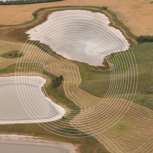 Since 1950, Alberta’s climate has been warming, and winter temperatures have increased 0.5-1ºC per decade. The annual frequency of extreme heat days is greatest in areas south of Consort.
Here is a collection of resources to help you stay up to date with current wildfire and weather news:
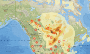
What are the current wildfire risks? Check the wildfire status in your area with the Government of Alberta website and interactive map. And where there’s fire there’s smoke, so take a look at the Canada wide Smoke Forecast and PurpleAir air quality map. Help prevent wildfires by observing fires bans and advisories. Check out: Alberta Fire Bans
What are the current weather hazards?
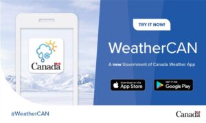
Heat waves, cold snaps, and everything in between. Visit the Government of Canada Weather Alert map to keep yourself safe and plan your days accordingly. Download the WeatherCAN app to stay in the loop while on the go.
What are the current risks to water quality and quantity?
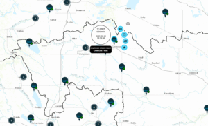
Stop and look at the provincial Blue-Green Algae Health Advisories before taking a dip. Monitor for water shortages and high stream flows on the Alberta River Basins map.
How can I monitor the impacts of weather conditions on agriculture?
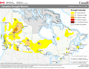
Get updates on drought conditions with the Agriculture and Agri-Food Canada Map. For longer term information on soil moisture, take a look at the Alberta Climate and Atlas Maps.
What do I do in the event of extreme winds?
Know what to do when it matters most. Take a read from the Government of Alberta fact sheets to know where it is best to take shelter in the event of dangerous winds or storms.
Using this toolkit of resources, you can find some peace of mind. Refer to our State of the Watershed Report to learn more statistics and gain a better understanding of the risks to our local communities.